
Geography & Atmospheric Science
Geography and Atmospheric Science at KU offers cutting-edge research and a rigorous education to make a real-world difference in people's lives.
About Our Programs

Geography
The study of geography encompasses landscape and physical features of the planet and human activity, the environment and resources, migration, and much more.

Atmospheric Science
The study of atmospheric science enables us to understand human interactions with the environment and generate solutions that make a real difference in people’s lives.


Geography and Atmospheric Science Events
News from the Geography & Atmospheric Science Department
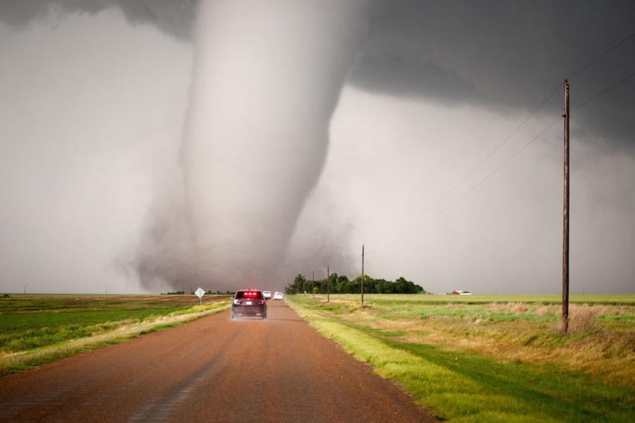
Tornado-forecast system can increase warning lead times, study finds
Today’s tornado warnings rely on radar data and regional spotters. By contrast, the Warn-on-Forecast System synthesizes observational data in real time and runs high-resolution simulations to gauge uncertainties and produce guidance for tornado and severe weather threats well before they form.
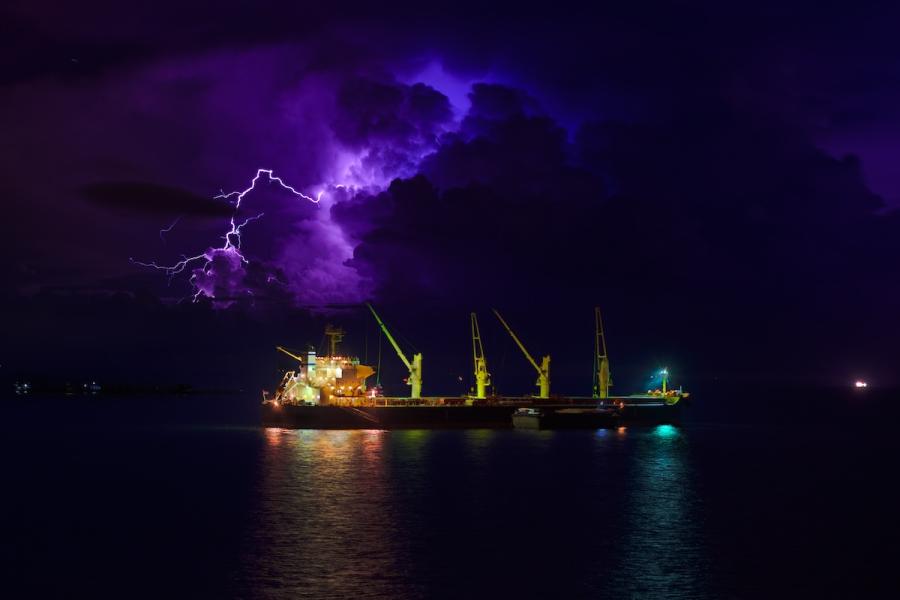
Cleaner ship fuel is reducing lightning in key shipping lanes, KU research shows
A University of Kansas researcher found lightning-stroke density — the number of individual lightning discharges, or “strokes,” per square kilometer — to be about 36% lower than before the 2020 IMO sulfur cap. Findings were published in the peer-reviewed journal Climate and Atmospheric Science.

Researchers at KU launch new Kansas Flood Mapping Dashboard
The Kansas Flood Mapping Dashboard uses stream gauge data from the National Weather Service and the U.S. Geological Survey, among other sources, along with the terrain-based FLDPLN (“Floodplain”) model developed at the University of Kansas. The tool will aid emergency managers across the state as well as the public.

KU researcher’s new work focuses on Indigenous fire sovereignty
University of Kansas scholar Melinda Adams has found evidence from far-flung global regions about benefits of Indigenous fire sovereignty, ranging from Arizona to Australia. She is the co-author of new work published in PNAS, the Proceedings of the National Academy of Science.